


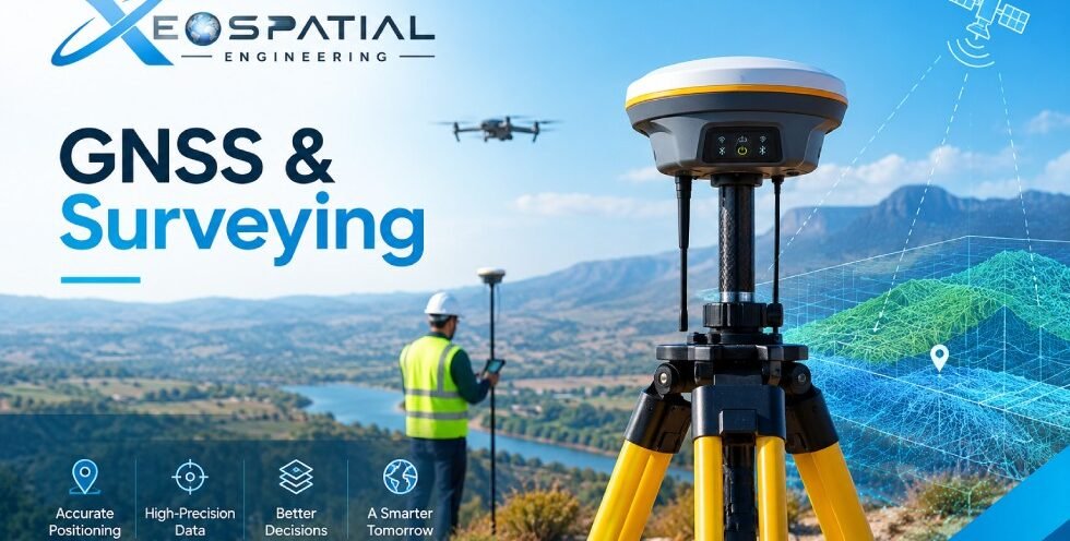
GNSS & Surveying Services | XEOSPATIAL
GNSS (Global Navigation Satellite System) and surveying provide essential spatial data for land development, infrastructure design, construction, and geospatial mapping. XEOSPATIAL offers surveying solutions designed to support accurate positioning, reliable measurements, and informed project planning. By combining modern positioning technologies with geospatial data processing, we help clients understand site conditions and establish dependable spatial information.
What Is GNSS & Surveying?
GNSS surveying uses signals from satellite navigation systems to determine geographic positions on the Earth’s surface. Depending on equipment, survey methods, correction data, and site conditions, it can provide positioning suitable for different engineering and mapping requirements. GNSS technology supports control surveys, topographic mapping, boundary assessment, and construction layout. Source: RICS GNSS guidance.
Our GNSS & Surveying Services
XEOSPATIAL provides surveying and spatial data solutions for projects with different technical requirements.
- GNSS/RTK/PPK: Positioning methods for collecting and processing survey coordinates according to project specifications.
- Topographic Survey: Mapping terrain features, elevations, contours, and visible site details.
- Boundary Survey: Supporting land boundary assessment using relevant survey records and field measurements.
- Cadastral Survey: Collecting spatial information related to land parcels and property mapping.
- Control Survey: Establishing reference points that support consistent measurements across mapping and engineering projects.
- Construction Survey: Providing setting-out and positional information to help align construction work with approved designs.
The appropriate method depends on project scope, required accuracy, terrain, accessibility, and available reference data.
How GNSS Surveying Supports Projects
Reliable survey information helps engineers and planners make decisions based on measured site conditions rather than assumptions. Topographic data can support terrain analysis, drainage planning, road design, and earthwork assessment. Control points provide a spatial reference for related mapping activities, while construction surveys help teams check the location of proposed features against design coordinates.
Survey quality also depends on equipment calibration, satellite visibility, correction services, coordinate reference systems, field procedures, and independent quality checks. Survey specifications should clearly define the required accuracy and final deliverables.
GNSS & Surveying in Pakistan
Across Pakistan, surveying supports urban development, road infrastructure, industrial estates, land management, and construction planning. XEOSPATIAL serves geospatial and engineering project needs through mapping and surveying workflows tailored to each site’s requirements. For projects in Lahore, Islamabad, Karachi, Faisalabad, and other locations, the survey approach should account for local site conditions, project specifications, and applicable requirements.
Before starting a project, clients should confirm the required coordinate system, accuracy, survey boundaries, deliverable formats, and any applicable approvals. Surveying and mapping activities in Pakistan may be subject to Survey of Pakistan registration and authorization requirements. Source: Survey of Pakistan.
Frequently Asked Questions
What is GNSS surveying used for?
GNSS surveying supports positioning, control networks, topographic mapping, construction layout, and other applications requiring geographic coordinates.
What is the difference between RTK and PPK?
RTK uses correction data to calculate positions in real time. PPK records observations for processing after field collection.
Can GNSS be used for boundary surveys?
Yes, GNSS may support boundary surveys when the method meets applicable accuracy requirements and is suitable for the site and legal context.
What affects GNSS survey accuracy?
Satellite visibility, obstructions, multipath, correction quality, equipment, coordinate reference systems, and field procedures can affect results.
Plan Your Surveying Project with XEOSPATIAL
Whether you need topographic mapping, GNSS positioning, cadastral data, control points, or construction surveying, XEOSPATIAL can help define a suitable geospatial workflow. Contact our team to discuss your project scope, required accuracy, location, and deliverables.