

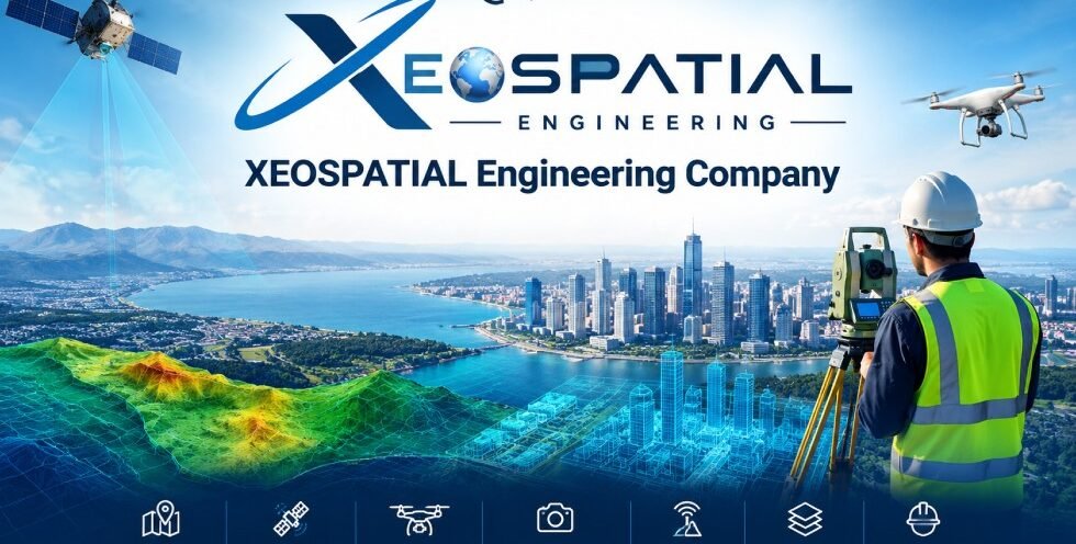
XEOSPATIAL Engineering Company
XEOSPATIAL is a geospatial services brand focused on transforming geographic data into meaningful information for planning, analysis, infrastructure development, and environmental management. By combining modern mapping technologies, spatial analysis, remote sensing, surveying, and engineering workflows, XEOSPATIAL supports professionals who need reliable geographic information to understand locations, evaluate site conditions, and make informed decisions.
Geospatial information plays an important role in modern development. From mapping urban road networks to monitoring environmental changes, accurate spatial data helps organizations understand how land, infrastructure, and natural resources relate to one another. XEOSPATIAL brings these capabilities together through specialized services designed to address diverse mapping, surveying, and engineering requirements.
Comprehensive GIS and Geospatial Services
Geographic Information Systems (GIS) provide the foundation for organizing, analyzing, and visualizing location-based information. XEOSPATIAL offers GIS mapping, spatial analysis, cadastral GIS, utility GIS, GIS database development, Web GIS, and GIS automation services.
These services help users visualize geographic features, assess spatial relationships, organize infrastructure information, and manage location-based datasets. Depending on project requirements, GIS workflows can support land administration, utility management, transportation planning, and infrastructure assessment. Well-structured spatial data also makes it easier to communicate findings through maps, reports, and digital applications.
Remote Sensing and Environmental Analysis
Remote sensing enables the study of Earth’s surface using satellite imagery and other remotely collected data. XEOSPATIAL’s remote sensing services include satellite analysis, land use and land cover (LULC) mapping, change detection, Normalized Difference Vegetation Index (NDVI) analysis, elevation products, and environmental monitoring.
These techniques can help identify changes in vegetation, built-up areas, agricultural land, water bodies, and other landscape features. Comparing imagery from different periods provides insights into land transformation and environmental patterns. Such information can support research, resource management, development planning, and environmental assessment.
Drone Mapping and Photogrammetry
Drone mapping and photogrammetry help convert aerial imagery into accurate spatial products and three-dimensional representations. XEOSPATIAL provides services including UAV surveys, orthomosaic generation, digital surface and terrain models, 3D modeling, point cloud generation, and volumetric surveys.
These outputs can assist with site documentation, terrain interpretation, construction monitoring, and earthwork assessment. Photogrammetry also supports aerial reconstruction and orthorectification, helping produce geometrically corrected imagery and detailed spatial models. Deliverables depend on available imagery, ground control, processing methods, and project accuracy requirements.
GNSS Surveying, LiDAR, and Engineering
Reliable positioning and elevation information are essential for many surveying and engineering applications. XEOSPATIAL’s GNSS and surveying services cover topographic, boundary, cadastral, control, and construction surveys, including workflows using GNSS, RTK, and PPK technologies.
LiDAR and 3D services include point cloud processing, point cloud classification, terrain and surface modeling, 3D reconstruction, and volume analysis. For construction and engineering projects, XEOSPATIAL also provides site mapping, Civil 3D, CAD drafting, cut and fill analysis, quantity calculations, and construction monitoring support.
Together, these capabilities can help project teams interpret site conditions, assess terrain, organize engineering information, and support construction planning. Appropriate survey methods, input data, and quality checks are essential to producing dependable results.
Supporting Better Project Decisions
XEOSPATIAL aims to connect geospatial technology with practical project requirements. Whether a project involves industrial land mapping, urban road network assessment, land cover change analysis, terrain modeling, or 3D city visualization, selecting suitable methods and clearly defined deliverables is essential.
Every project has different objectives, data availability, technical constraints, and accuracy requirements. A structured workflow begins by understanding the client’s needs, selecting appropriate data sources, processing and validating spatial information, and preparing useful outputs for interpretation.
By bringing mapping, surveying, remote sensing, and engineering capabilities together, XEOSPATIAL supports a data-informed approach to understanding places and planning development. The goal is to make complex geographic information easier to interpret and more useful for real-world decisions.