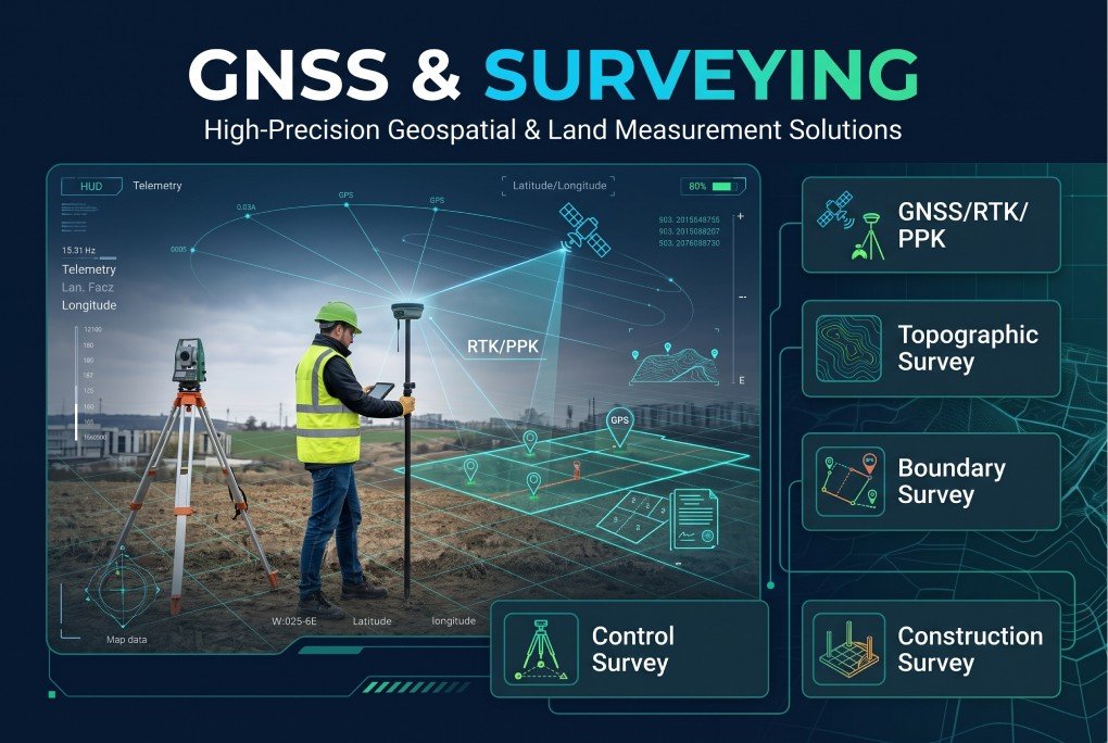
XEOSPATIAL provides accurate GNSS and surveying solutions to support construction, land development, infrastructure planning, and engineering projects. Our services include GNSS/RTK/PPK positioning, topographic surveys, boundary surveys, cadastral surveys, control surveys, and construction surveys. We use advanced surveying technologies and reliable data collection methods to deliver precise measurements and dependable results. From establishing property boundaries to supporting complex construction activities, we help clients make informed decisions with confidence and accuracy.
Why Choose XEOSPATIAL?
Accurate surveying, advanced technology, reliable data, and expert solutions.
Continuous support
We provide ongoing surveying support, ensuring accurate data and reliable project outcomes.
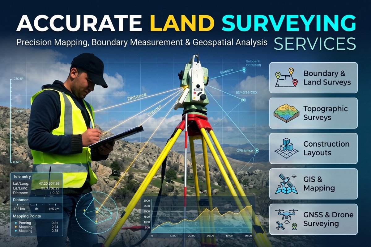
Accurate Land Surveying Services
Our GNSS and surveying services deliver reliable spatial measurements for land development, engineering, and construction. XEOSPATIAL specializes in GNSS/RTK/PPK positioning, topographic mapping, boundary identification, cadastral surveys, control networks, and construction layout.