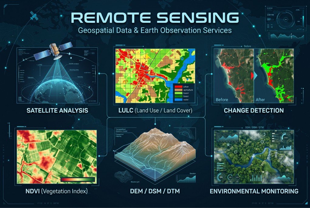
XEOSPATIAL provides advanced remote sensing solutions to analyze Earth’s surface, monitor environmental changes, and support informed decision-making. Our services include satellite analysis, Land Use and Land Cover (LULC) mapping, change detection, NDVI analysis, and DEM/DSM/DTM generation. We transform satellite imagery and geospatial data into meaningful insights for agriculture, urban planning, natural resource management, and environmental monitoring, helping organizations understand landscapes and make data-driven decisions with greater confidence.
Why Choose XEOSPATIAL?
Delivering advanced remote sensing solutions for accurate environmental insights.
Continuous support
We provide ongoing remote sensing support, ensuring accurate analysis, reliable data & timely project assistance.
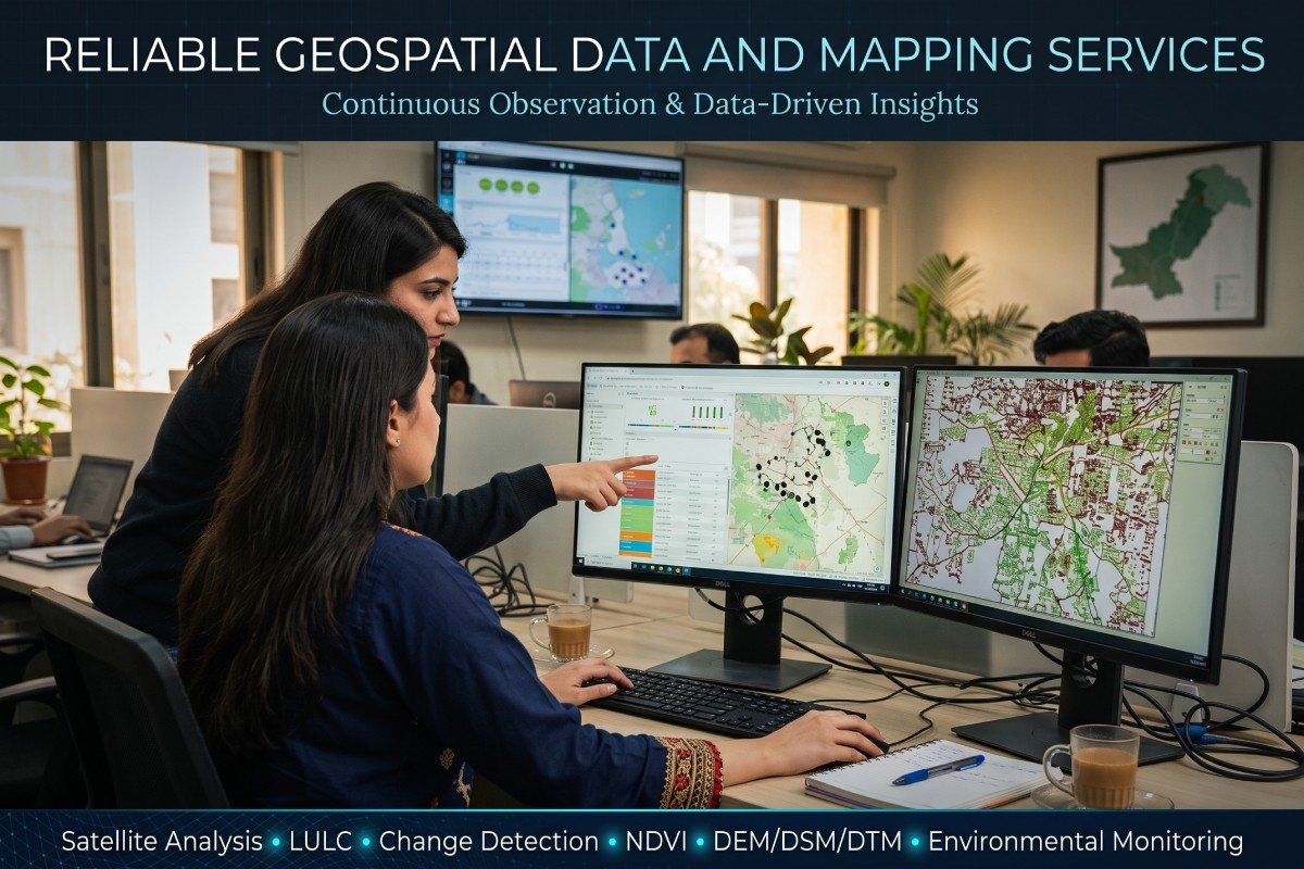
Reliable Geospatial Monitoring
XEOSPATIAL offers remote sensing solutions for satellite analysis, land cover mapping, change detection, NDVI, and terrain modeling. Our environmental monitoring services help identify landscape changes, assess vegetation health, and support sustainable planning through reliable geospatial data and insights.