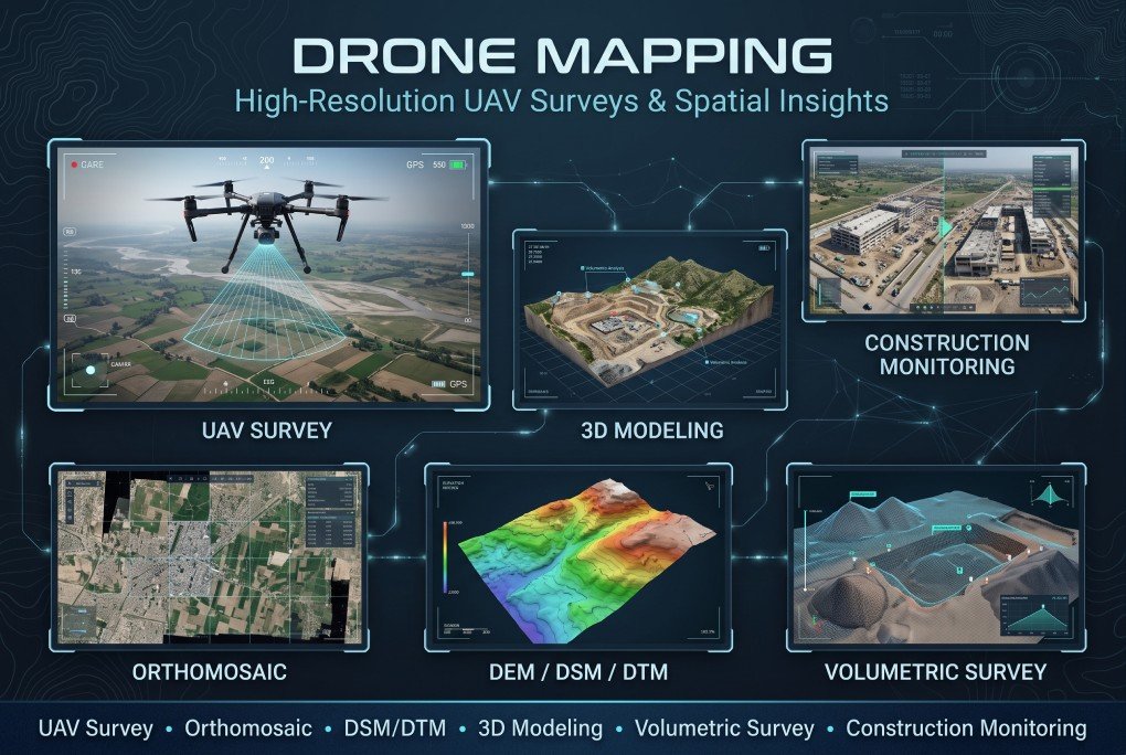
XEOSPATIAL provides advanced drone mapping services to capture accurate aerial data for surveying, planning, and engineering projects. Our solutions include UAV surveys, high-resolution orthomosaic maps, Digital Surface Models (DSM), Digital Terrain Models (DTM), and detailed 3D modeling. We also offer volumetric surveys for material measurement and construction monitoring to track project progress. By transforming aerial imagery into valuable geospatial information, we help clients improve efficiency, reduce uncertainty, and make informed decisions.
Why Choose XEOSPATIAL?
Reliable drone mapping, precise data, and advanced geospatial technology.
Continuous support
We provide support for drone mapping, data processing, surveying, and construction monitoring projects.
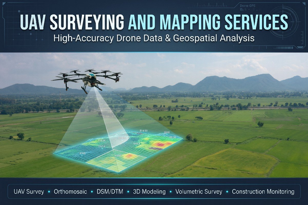
Professional UAV Surveying and Mapping Services
XEOSPATIAL delivers reliable UAV surveying and drone mapping solutions for construction, engineering, and land development. We generate orthomosaic maps, DSM/DTM data, and 3D models while providing volumetric analysis and construction monitoring.