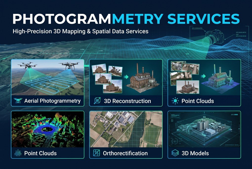
XEOSPATIAL delivers advanced photogrammetry services that transform aerial imagery into accurate, detailed, and georeferenced spatial data. Our solutions include aerial photogrammetry, 3D reconstruction, point cloud generation, orthorectification, and high-quality 3D models. We help engineering teams, surveyors, construction professionals, and planners visualize real-world environments, measure land features, and improve project accuracy. By combining modern technology with reliable processing workflows, we provide valuable geospatial insights for informed decision-making and efficient project execution.
Why Choose XEOSPATIAL?
Reliable geospatial solutions powered by precision, innovation, and expertise.
Continuous support
We provide technical support to ensure smooth workflows, reliable geospatial data, and successful project completion.
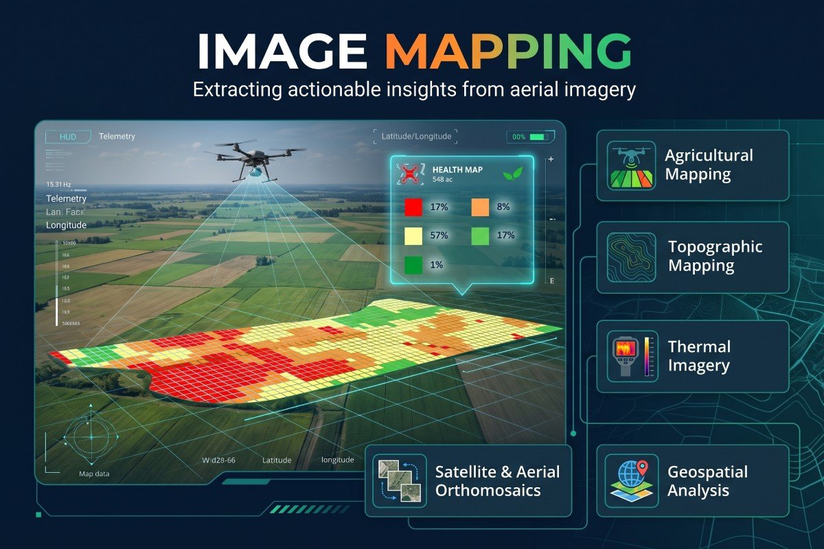
Precision Image Mapping
Our photogrammetry services convert aerial images into accurate maps, point clouds, orthorectified imagery, and detailed 3D models. XEOSPATIAL supports surveying, engineering, and construction projects with reliable spatial data, realistic visualizations, and precise measurements for better planning and analysis.