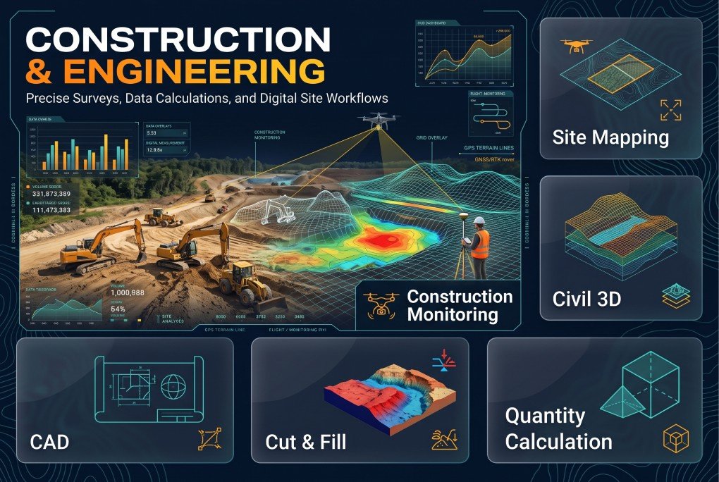
XEOSPATIAL provides comprehensive construction and engineering solutions to support accurate planning, efficient design, and successful project execution. Our services include site mapping, Civil 3D modeling, CAD drafting, cut and fill analysis, quantity calculation, and construction monitoring. We help engineers, contractors, and developers understand site conditions, optimize earthwork, estimate material requirements, and track project progress using reliable geospatial data and advanced engineering tools for informed decision-making.
Why Choose XEOSPATIAL?
Delivering precise geospatial solutions for smarter engineering decisions.
Continuous support
We provide continuous engineering support, project monitoring & geospatial assistance at every stage.
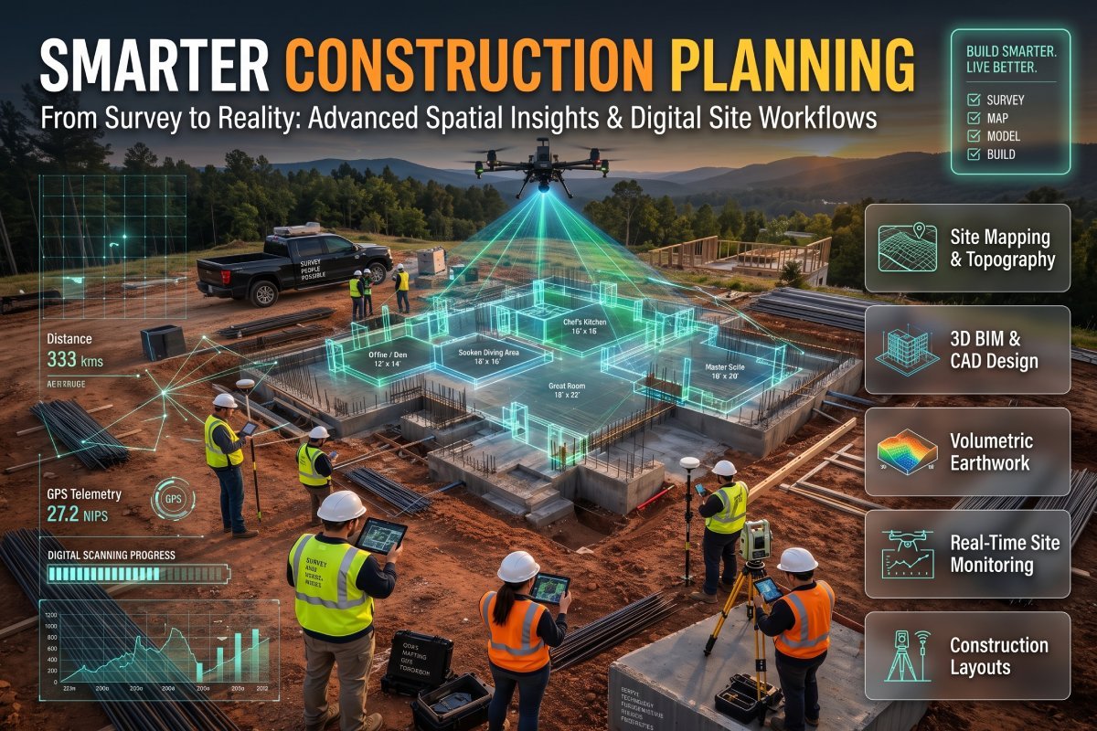
Smarter Construction Planning
XEOSPATIAL delivers site mapping, Civil 3D, CAD drafting, cut and fill analysis, quantity calculations, and construction monitoring. Our solutions help construction professionals improve design accuracy, manage earthwork efficiently, and achieve better project coordination from planning to completion.