


GIS Mapping | Work, Applications & Benefits
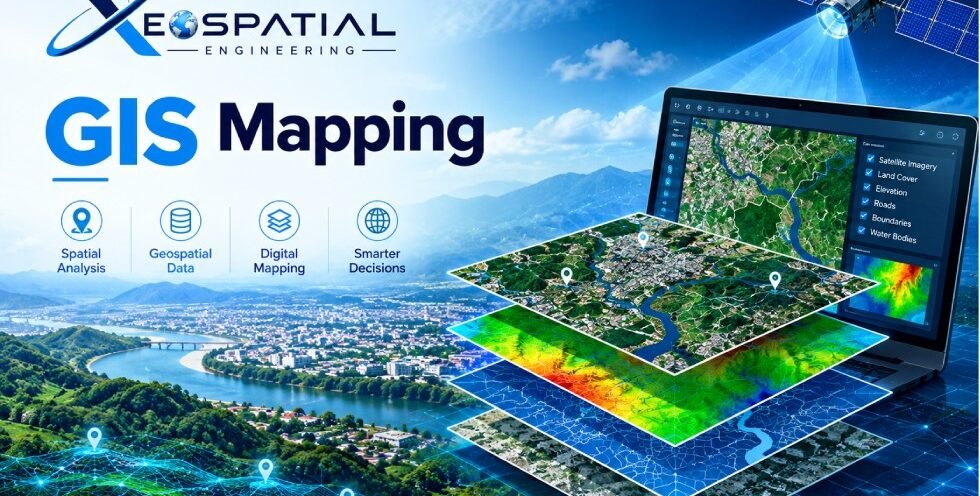
GIS Mapping uses Geographic Information Systems (GIS) technology to collect, manage, analyze, and visualize location-based data. At XEOSPATIAL, we provide geospatial mapping solutions that help businesses, engineers, planners, and organizations understand geographic information and make informed decisions. By combining spatial datasets with digital maps, GIS mapping reveals patterns, relationships, and geographical trends that support effective planning and resource management.
What Is GIS Mapping?
GIS mapping is the process of representing geographic features and information on digital maps. It combines location data, satellite imagery, survey measurements, and geographic datasets to create meaningful visual representations of real-world environments.
GIS maps can display roads, buildings, land parcels, utility networks, terrain, vegetation, and infrastructure. These maps help users interpret complex spatial information and understand how different features relate to one another.
How Does GIS Mapping Work?
GIS mapping involves several stages to produce accurate and useful geospatial information:
- Data Collection: Gather information from satellite imagery, GPS surveys, drones, existing maps, and field observations.
- Data Processing: Organize, clean, and prepare spatial datasets for analysis.
- Spatial Analysis: Examine geographic patterns, distances, boundaries, and relationships between mapped features.
- Map Creation: Visualize processed information using appropriate symbols, layers, labels, and geographic coordinates.
- Quality Assessment: Check data accuracy, completeness, coordinate systems, and consistency before delivering the final maps.
These steps help transform raw geographic information into practical mapping outputs for planning and analysis.
Applications of GIS Mapping
GIS mapping supports numerous industries by providing reliable location-based insights.
Urban Planning: Maps roads, buildings, land use, and development areas to support infrastructure planning and urban growth management.
Land Management: Helps identify property boundaries, land parcels, vacant plots, and land utilization patterns.
Utility Mapping: Visualizes electricity networks, water pipelines, drainage systems, and other essential infrastructure.
Environmental Monitoring: Supports vegetation assessment, land cover mapping, and monitoring of environmental changes.
Construction and Engineering: Provides site maps, terrain information, and spatial datasets for preliminary design and project planning.
Benefits of Professional GIS Mapping
Professional GIS mapping improves the way organizations interpret and use geographic information. Accurate spatial datasets support better planning, efficient resource allocation, and clearer communication between project teams.
GIS maps also help identify spatial relationships, highlight potential issues, and simplify complex information through visual representation. When supported by reliable source data and appropriate quality checks, these insights can improve operational efficiency and support evidence-based decisions.
At XEOSPATIAL, our GIS and geospatial services are designed to support mapping, spatial analysis, land assessment, infrastructure planning, and other location-based projects.
Why Choose XEOSPATIAL for GIS Mapping?
XEOSPATIAL combines geospatial expertise, modern mapping technologies, and structured spatial data workflows to deliver project-focused mapping solutions. We consider project objectives, data availability, coordinate requirements, and intended map usage when developing geospatial outputs.
Our approach emphasizes data quality, clear visualization, and practical deliverables that help clients understand geographic conditions and make informed decisions.