



XEOSPATIAL

Coastal Zone Environmental Monitoring

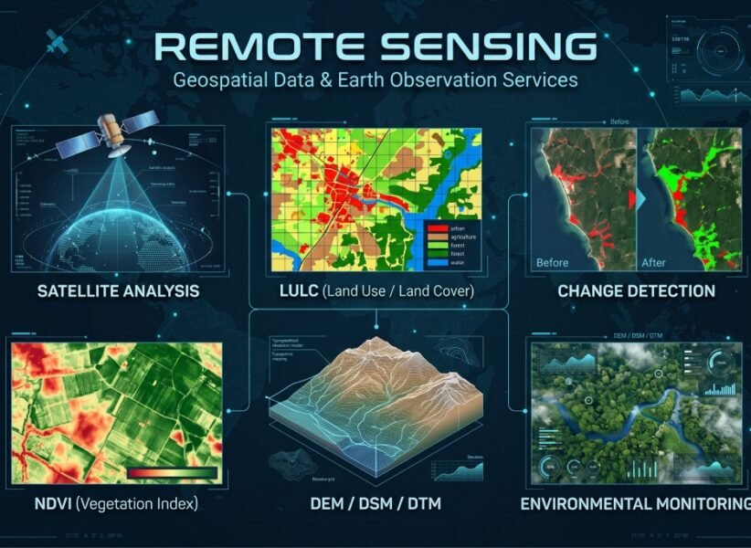
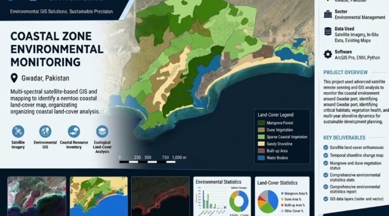
Coastal Zone Environmental Monitoring uses satellite imagery and geospatial analysis to assess environmental conditions and monitor changes across coastal areas. The project focuses on mapping coastal land cover, vegetation patterns, shoreline characteristics, and surrounding landscape changes over time. XEOSPATIAL applies remote sensing techniques and spatial data analysis to identify environmental changes, evaluate land use patterns, and support coastal ecosystem assessment.

These insights help environmental professionals, planners, and researchers understand coastal dynamics and identify areas requiring further attention. Reliable monitoring data also supports coastal resource management, environmental protection, and sustainable development planning. Through accurate satellite-based assessment, XEOSPATIAL provides valuable geospatial insights that contribute to informed decision-making, responsible coastal management, and long-term environmental sustainability.

Coastal Zone Environmental Monitoring

A satellite-based environmental assessment focused on coastal land cover, vegetation patterns, and changes in the surrounding landscape. The project supports coastal resource monitoring, environmental assessment, and sustainable development planning.

Satellite-based coastal monitoring assessing vegetation, shoreline changes, and environmental conditions in Gwadar, Balochistan, Pakistan.

More Services Of XEOSPATIAL

Our Clients