

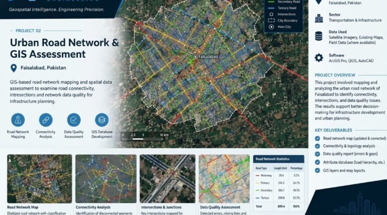


Urban Road Network & GIS Assessment uses advanced Geographic Information System (GIS) technology to map, analyze, and evaluate urban road networks. The project focuses on identifying roads, intersections, connectivity patterns, and network data quality to support effective transportation planning and infrastructure development. XEOSPATIAL uses spatial data analysis and GIS mapping techniques to assess road structures, identify connectivity gaps, and understand existing transportation networks.
These insights help urban planners, engineers, and decision-makers evaluate road accessibility, improve network organization, and identify areas requiring infrastructure improvements. Accurate road network data also supports better route planning, traffic management, and future urban development. Through reliable geospatial assessment, XEOSPATIAL provides valuable insights that contribute to smarter transportation systems, informed planning decisions, and sustainable urban infrastructure.
GIS-based road network mapping and spatial data assessment to examine road connectivity, intersections and network data quality for infrastructure planning.
GIS-based road network mapping and connectivity assessment for improved transportation planning in Faisalabad, Pakistan.
More Services Of XEOSPATIAL
Construction & Engineering
LiDAR & 3D
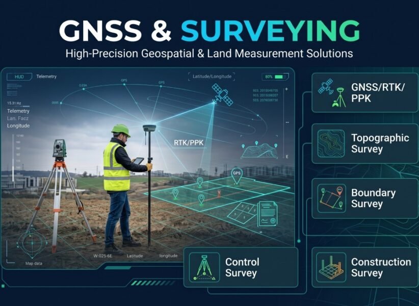
GNSS & Surveying
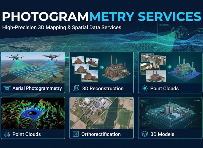
Photogrammetry
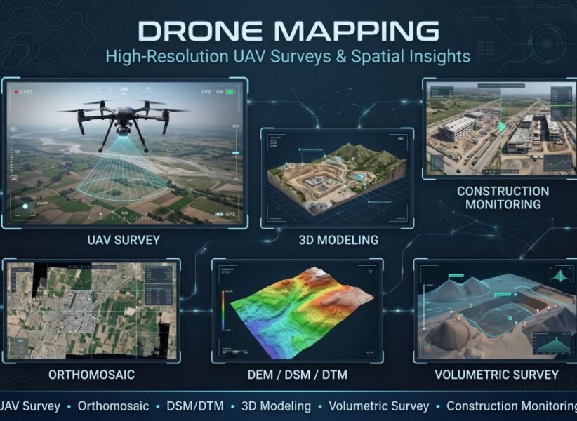
Drone mapping
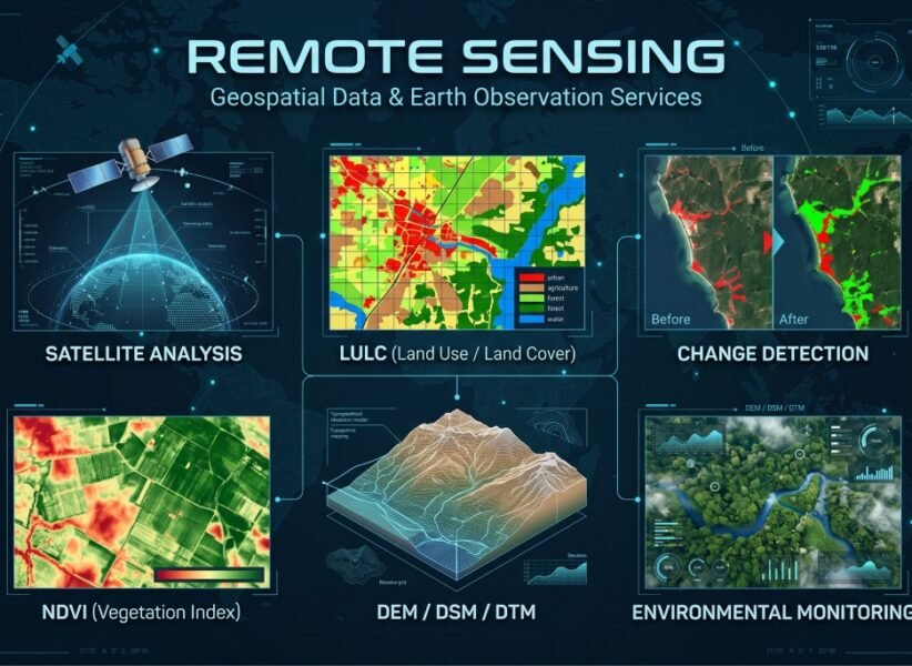
Remote Sensing
GIS Mapping
Our Clients