

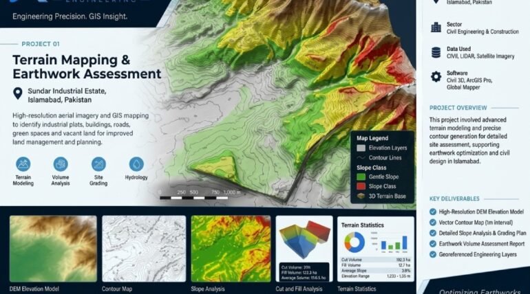

Terrain Mapping & Earthwork Assessment uses advanced geospatial techniques to analyze elevation, terrain characteristics, and ground conditions for effective site planning. The project focuses on digital elevation modeling, contour generation, slope assessment, and topographic visualization to provide a detailed understanding of the landscape. XEOSPATIAL combines accurate spatial data with terrain analysis to identify elevation differences, evaluate ground gradients, and support earthwork planning.
These insights help engineers, surveyors, contractors, and developers assess site suitability, plan construction activities, and estimate cut and fill requirements. Detailed terrain information also supports drainage planning, infrastructure design, and land development decisions. Through reliable terrain mapping and earthwork assessment, XEOSPATIAL delivers valuable geospatial insights that improve planning accuracy, optimize resources, and support efficient project execution.
A terrain analysis project focused on elevation modeling, contour generation, slope assessment, and topographic visualization. The resulting spatial information supports preliminary site evaluation, terrain interpretation, and construction planning.
Terrain mapping, elevation modeling, and earthwork assessment supporting construction planning and site evaluation in Islamabad, Pakistan.
More Services Of XEOSPATIAL
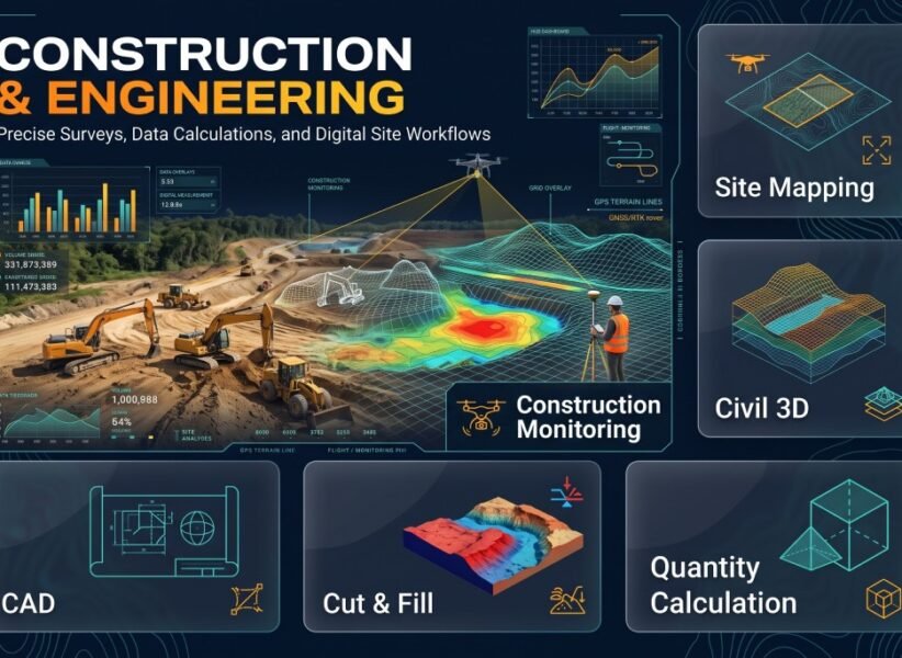
Construction & Engineering
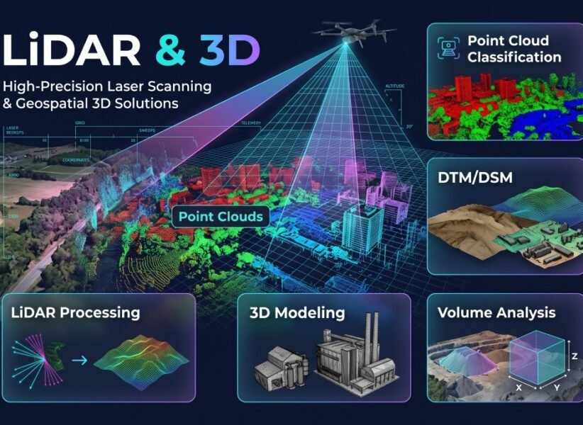
LiDAR & 3D
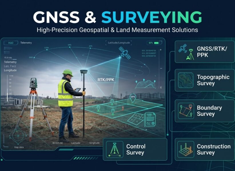
GNSS & Surveying
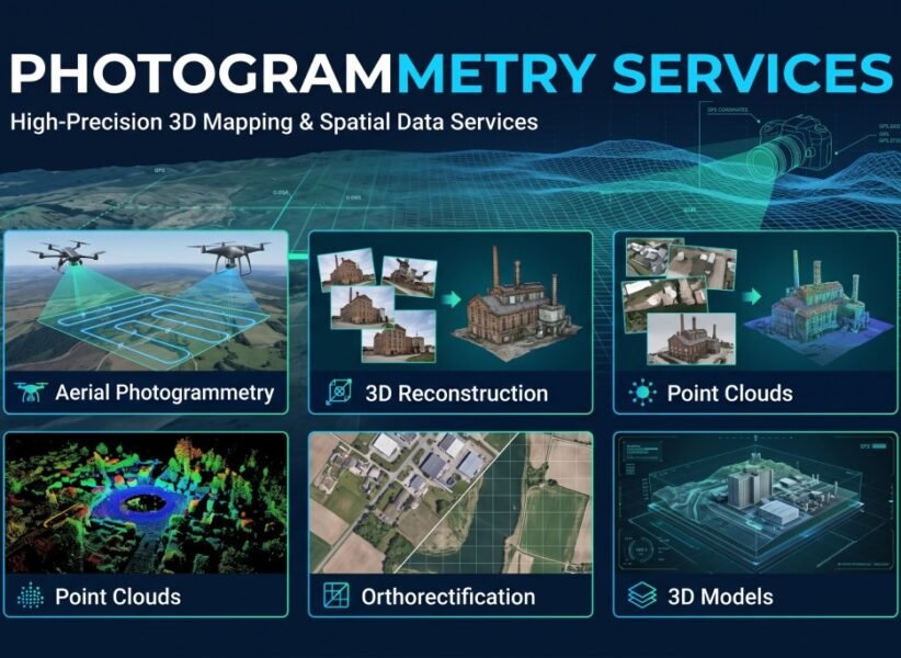
Photogrammetry
Drone mapping
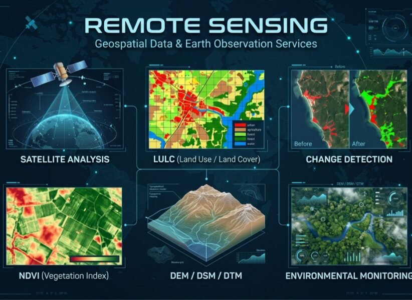
Remote Sensing
Our Clients