

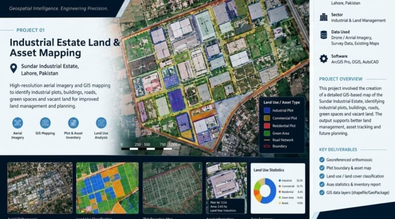

Industrial Estate Land & Asset Mapping uses high-resolution aerial imagery and advanced GIS technology to create detailed maps of industrial areas. The project identifies industrial plots, buildings, internal roads, green spaces, vacant land, and other essential assets to provide a clear overview of land use and infrastructure. By integrating accurate spatial data with geospatial analysis, XEOSPATIAL supports efficient land management, asset identification, and infrastructure planning.
These mapping solutions help estate managers, developers, and decision-makers understand existing site conditions, monitor land utilization, and identify opportunities for future development. Detailed spatial information also improves property documentation, supports better resource allocation, and simplifies planning activities. XEOSPATIAL delivers reliable mapping insights that contribute to smarter industrial estate management, informed decisions, and sustainable development.
High-resolution aerial imagery and GIS mapping to identify industrial plots, buildings, roads, green spaces and vacant land for improved land management and planning.
GIS-based industrial land and asset mapping for improved planning and management at Sundar Industrial Estate, Lahore, Pakistan.
More Services Of XEOSPATIAL
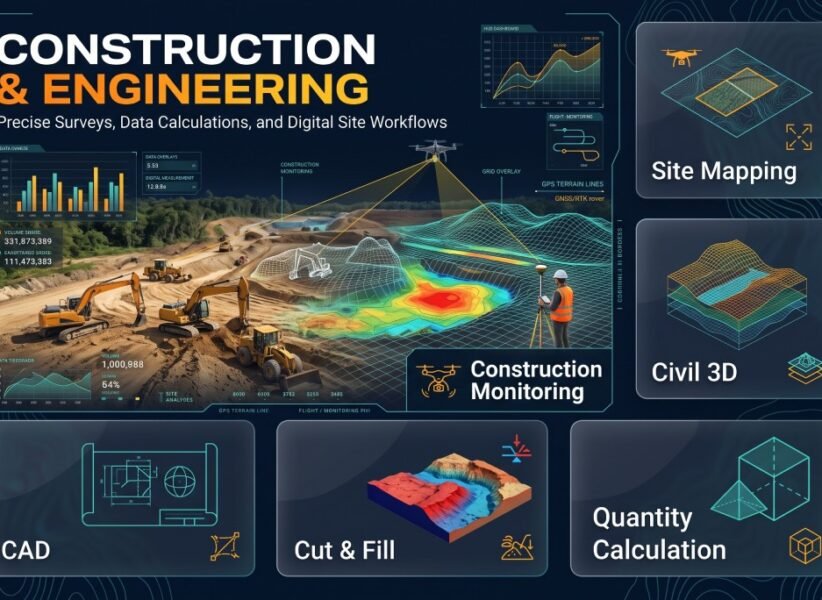
Construction & Engineering
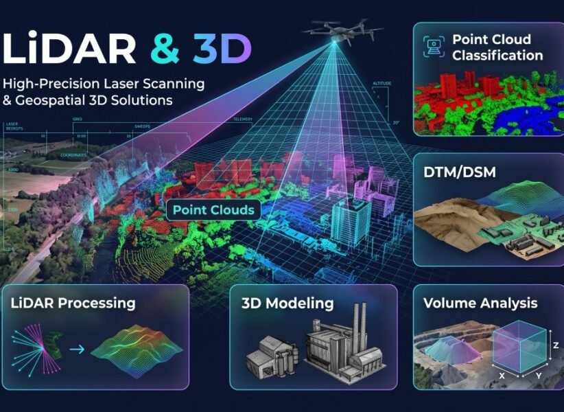
LiDAR & 3D
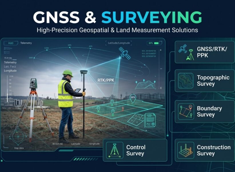
GNSS & Surveying
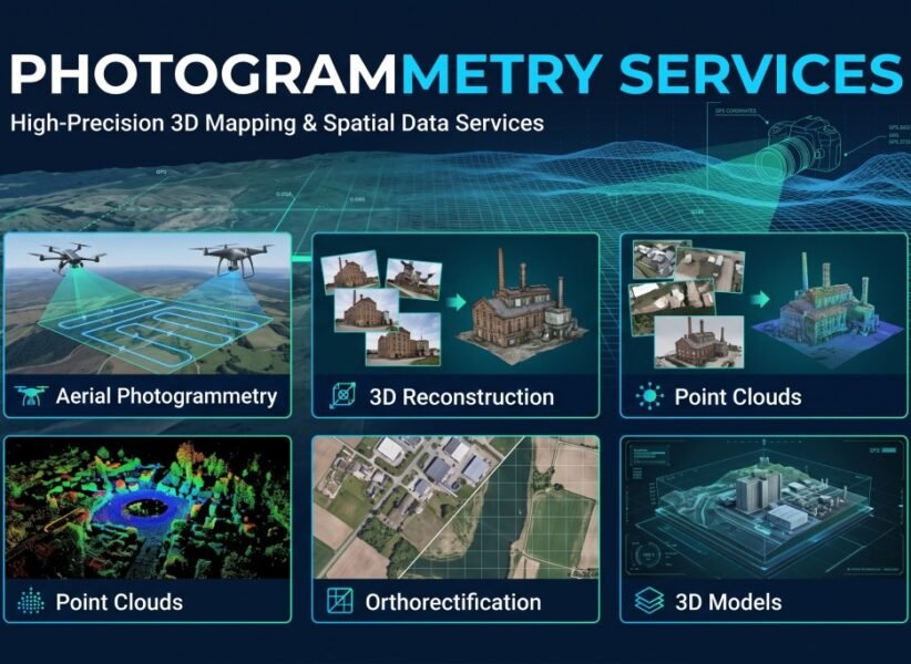
Photogrammetry
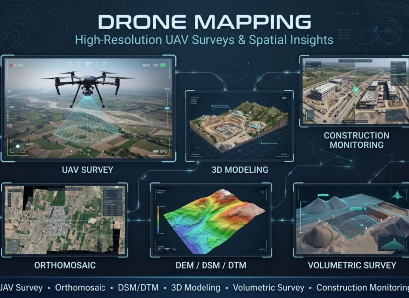
Drone mapping
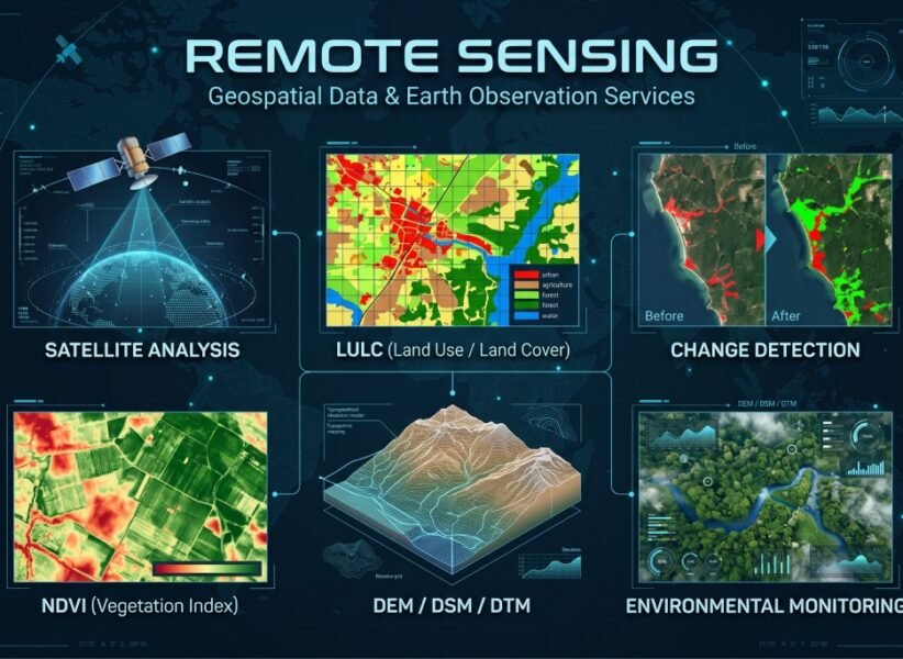
Remote Sensing
Our Clients